blah blah blah
Washburn Forest
Length: 0.7 miles out-and-backDifficulty (click for info): Beginner
Elevation Gain: minimal
Rating (click for info): 6/10
Driving Directions:
Trailhead and parking area are on Rt. 3 in Clarksville, NH. It is 3.4 miles northeast of the junction with Bridge Street (to the Canadian border crossing) in Stewartstown and 5.2 miles southwest of the northern junction with Rt. 145 in Pittsburg. Look for the parking area and Forest Society property sign on the east side of the road, adjacent to a gated gravel road. It is immediately south of a bridge over the Connecticut River. Click here for a Google map.
Trail map
About the Hike:
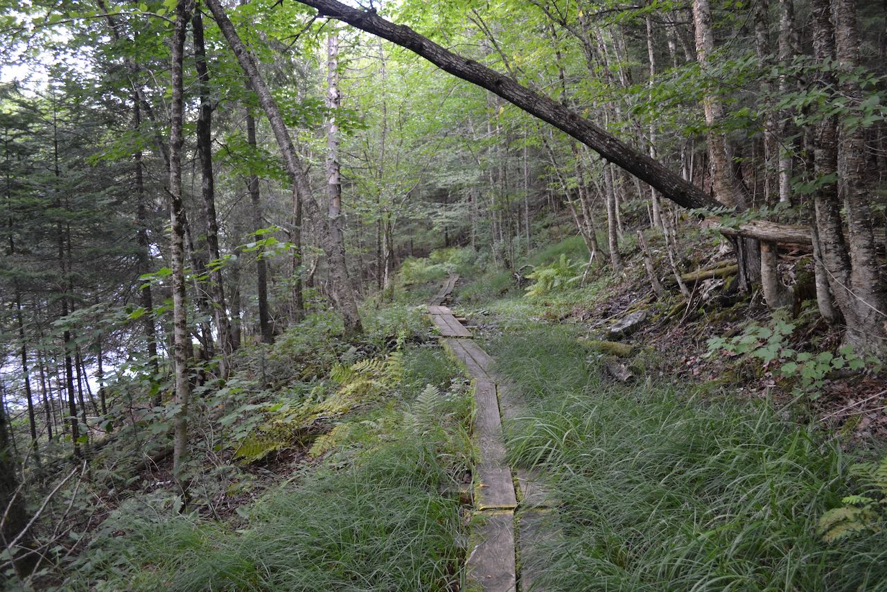
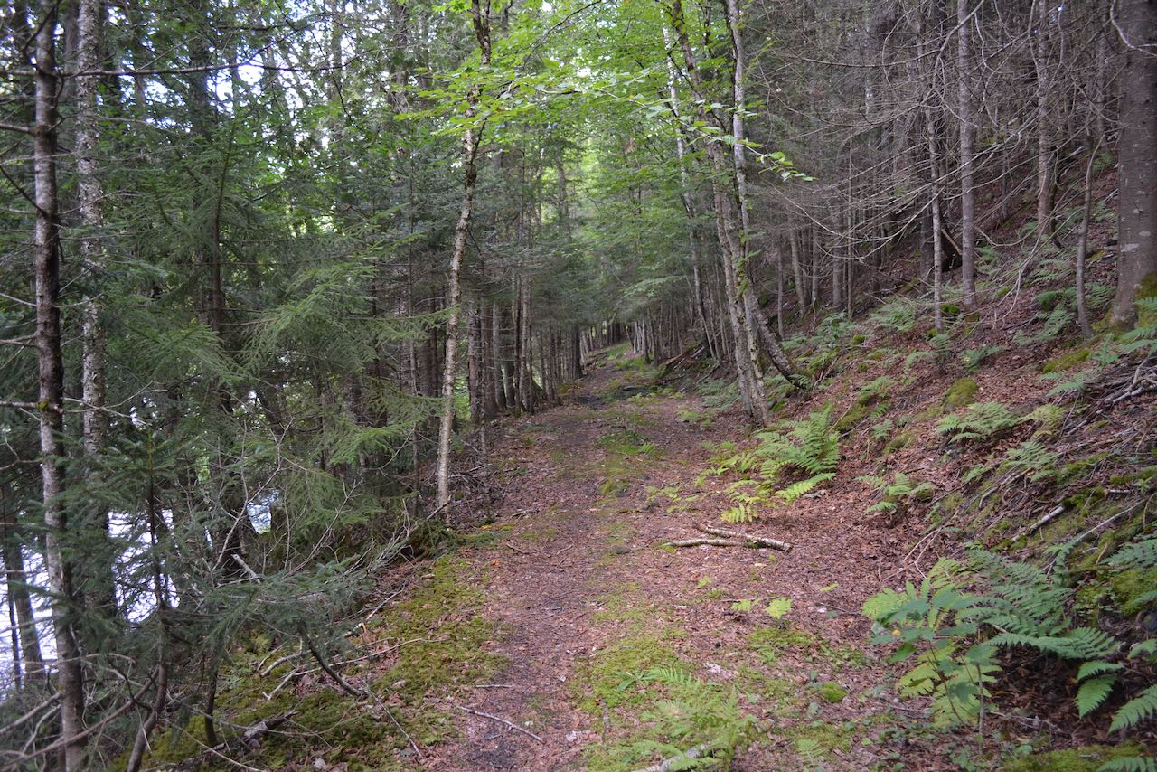
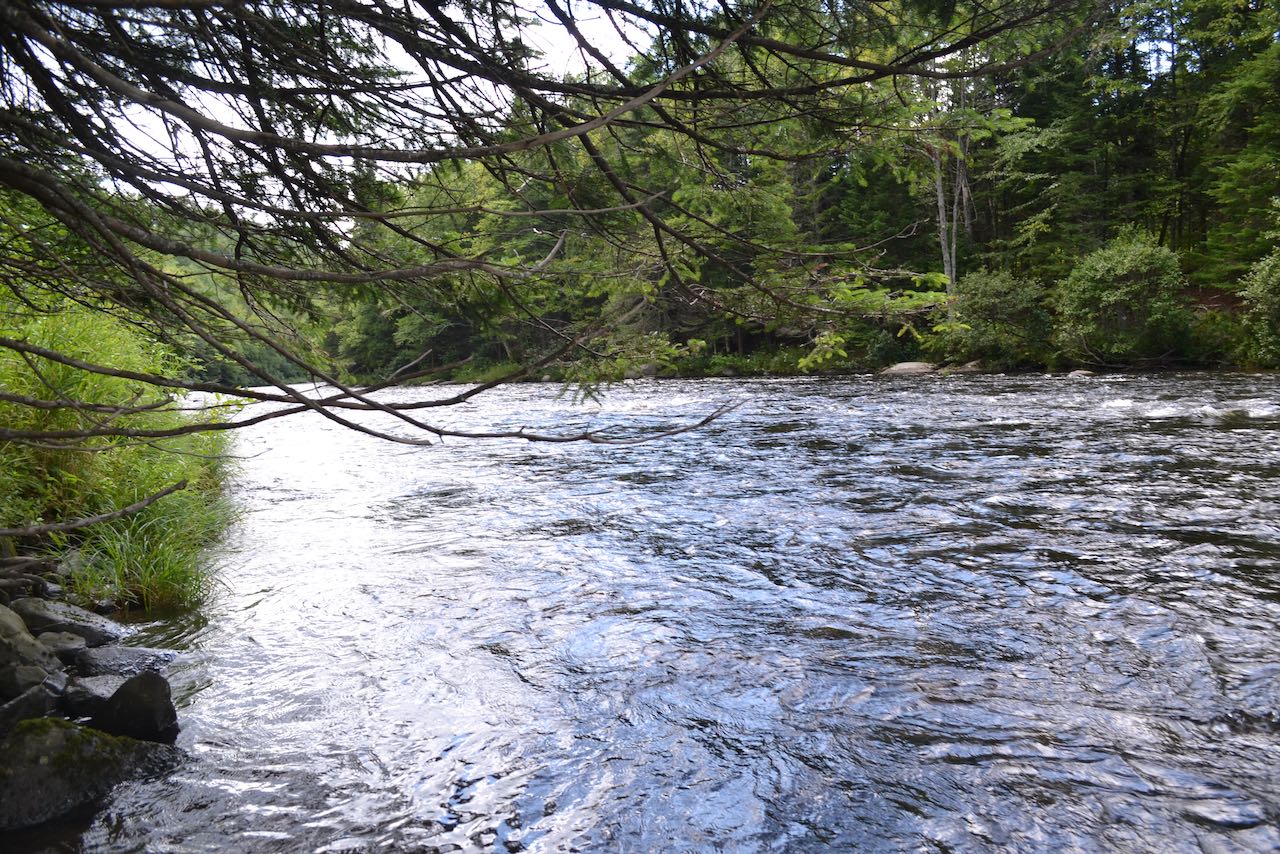
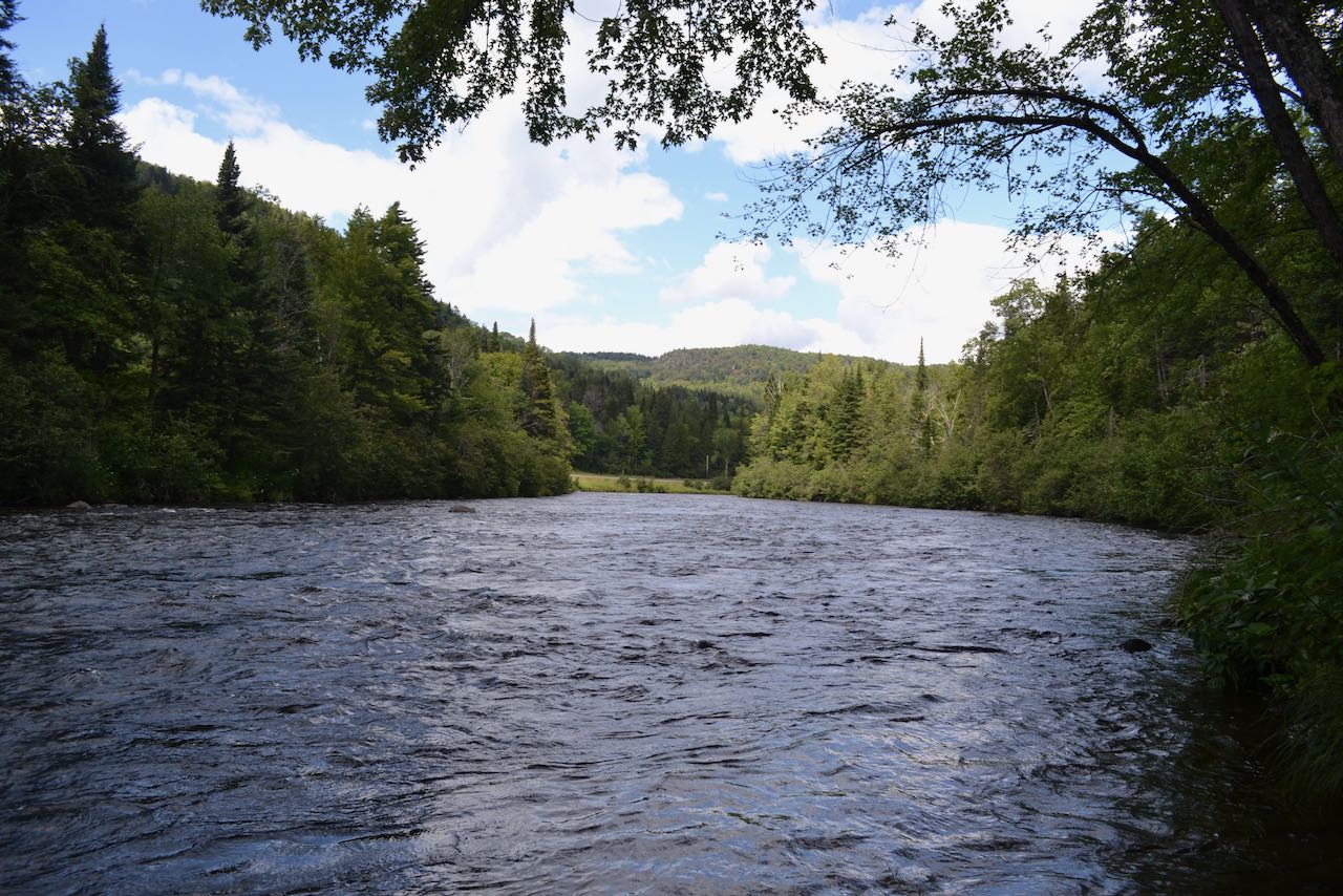
The Forest Society's Wasburn Family Forest conserves a 2,000+ acre area along the eastern side of the Connecticut River. A network of gravel roads occupies the interior of the property, making snowmobiling one its main attractions, along with fly fishing. Hiking opportunities are limited, but the footpath access to the gravel roads is a nice scenic walk along the river to check out if you are in the area. From the end of the parking area (note: the gravel road next to the parking area is not open for public use), start walking on the yellow-blazed trail, which leads across the hillside above the river, crossing a string of bog bridges. Enjoy the lush northern forest as the path gradually descends toward the river. After 0.35 miles, the path crosses small, rocky Favreau Brook. Just before this point, walk out to the riverbank for a picturesque view over the rapids.
Printable directions page